We recently rode the Empire State Trail from Manhattan to Rouses Point, continuing on to Montréal, Canada. The trip took 11 days at a relaxed riding pace. What follows is some advice and a route recap aimed at folks planning a similar trip.
If you’re just looking for an answer to “should I do the Empire State Trail?” I say yes. At least the Hudson Valley Greenway Trail portion. That leg, from New York City to Albany, is doable in under a week with most bikes and a general fitness level.
If you’re just looking for the ride data, see my pre-ride Ride With GPS route collection here and links to my Strava ride logs below.
Advice
Here’s what I wish I knew before leaving:
- Go after Memorial Day
- Know your daily cadence
- Warm up before the trip
- Pack utensils
Go after Memorial Day
Consider your timing and plan accordingly. Know that stores and restaurants in small towns can be shut until Memorial Day (late May). From what I hear, they stay open until at least Labor Day (early September). Maybe even to Thanksgiving (late November).
If I could do it over, I’d plan to leave New York City a day or two before Memorial Day so we hit the small towns just as they open. It gets hot and crowded later in June when school breaks up.
We went in early May which turned out to be earlier than most towns were open for season. That meant we would sometimes struggle to find places to eat or stock up on groceries. It also limited our range. For example: we could have taken a ferry and explored Vermont had we been on the road a few weeks later when that route opened.
Know your daily cadence
You will likely find yourselves travelling over a weekend, in nice weather, in sparsely populated areas… with a big backlog of post-COVID weddings and the like. All that means accommodation may become scarce.
Figure out how many miles you and your entourage can (or want to) comfortably ride per day and calculate which towns you’ll want to stay in. Make bookings at least a few days ahead—particularly for weekends—so you can adjust your upcoming mileage if necessary. Try to make refundable bookings so you have more flexibility.
Our (comfort) cadence ended up being around 70 to 100 km per day. That looked like riding from 9:30am to about 3:30pm with plenty of breaks in between. We alternated the longer days with shorter ones when geography and hotel availability allowed for it.
Keep in mind that cadence will be affected by elevation. That is a serious factor once you pass Albany and enter the Adirondacks. You can reference my Ride With GPS route to plan both the distances and elevation gain for each leg. Google Maps is surprisingly good for this too as it tends to stick to the Empire State Trail route.
We didn’t figure out our cadence until a few days into the trip and got stung on a Saturday arrival in Hudson, NY where hotels were almost booked up. The remaining one or two were wildly expensive.
Warm up before the trip
Practice in your full kit and fully-laden bike before the trip.
Get at least one 50 km ride in or—even better—an overnighter or two. You might discover parts of your bike (or body) that need adjusting. It’s much better to get injured or experience mechanical issues whilst at home than when on the road, miles from the closest bike shop or hospital.
I accidentally bled my hydraulic brakes when replacing brake pads. Luckily this happened a few weeks prior to the trip, where I was able to both get the fluid refilled and have another skill added to my bicycle mechanic repertoire from the comfort of home.
Lukas wrecked his Achilles during the ride because he used a slightly different saddle height and wore cleats he hadn’t used for a while. We were well on the way so he had to push on.
Pack utensils
Many hotel breakfasts, cafes, diners, and even restaurants outside the major cities in the US serve food, drink, and condiments in disposable packaging. We left a trail of landfill wherever we went.
The metal cutlery and a KeepCup I brought along avoided some waste and came in handy for the occasional roadside meal. A camp-grade plate and bowl would have completed the package and avoided a lot more of the waste.
Route
We did the Hudson Valley Greenway Trail and Champlain Valley Trail parts of the Empire State Trail and some of the Canadian La Route Verte to Montréal. We didn’t do the Erie Canalway Trail and didn’t camp.
Here’s a Ride With GPS route I prepared before the trip:
I prepared another one for after we crossed into Canada, but we ended up going a different way, through Saint Jean-sur-Richelieu.
We stayed at hotels that struck a balance between affordability and proximity to the trail. Think Motel 6, Holiday Inn Express, and the like.
Below is a daily breakdown of our ride. I’ve grouped the 12 legs into four sections. Tap on one of the bolded, coloured rows to be taken to that section’s write-up below, or click on an unbolded row to be taken straight to its Strava log.
| Leg | Distance | Elevation Gain |
|---|---|---|
| Getting out of the city | ||
| Manhattan to Ardsley | 44.52 km | 196 m |
| Ardsley to Brewster | 68.89 km | 475 m |
| Brewster to Poughkeepsie | 67.12 km | 238 m |
| Poughkeepsie to Kingston | 45.63 km | 181 m |
| Heading towards Albany | ||
| Kingston to Hudson | 61.83 km | 576 m |
| Hudson to Albany | 68.34 km | 497 m |
| Albany to Schuylerville | 65.99 km | 202 m |
| Schuylerville to Ticonderoga | 105.54 km | 963 m |
| Ticonderoga to Westport | 46.51 km | 620 m |
| Attacking the Adirondacks | ||
| Westport to Plattsburgh | 77.96 km | 841 m |
| Onwards to Montréal | ||
| Plattsburgh to Rouses Point to Saint Jean-sur-Richelieu | 84.16 km | 198 m |
| Saint Jean-sur-Richelieu to Montréal | 53.83 km | 131 m |
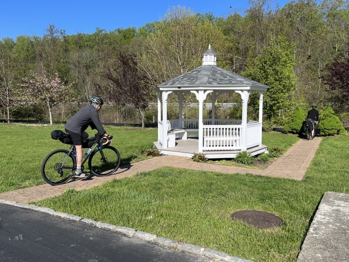
Getting out of the city
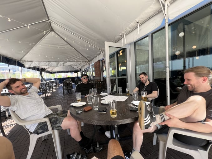
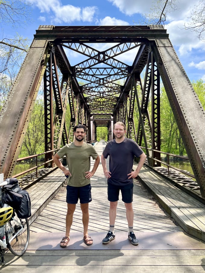
Five of us left the Battery Park starting point on a Monday morning. The ride out of the city was only difficult between Inwood and the Bronx: where we left the Hudson River Greenway and hadn’t yet reached Van Cortlandt Park. The rest of the day—actually the entire ride to Albany—was peaceful, scenic, and (mostly) separate from cars.
From here on for the entirety of the trail I don’t think we made a wrong turn or felt lost. Kudos to the trail planners for the direct routes and plentiful signage.
We spent our first night at a motel in Ardsley, just off the trail’s path. I chose Ardsley because 44.52 km seemed like a modest distance for our first day: buffering time to warm up, repair flats, and wait for latecomers.
If I could do the trip over I’d pick somewhere further up. Ardsley was too short of a ride and an awkward for walking around in. Riding further to reach a nicer hotel and/or nicer town soon revealed itself to be worth the effort.
We had a similar issue the second night in Brewster. Like Ardsley, had I followed my own advice to ‘know your daily cadence’, we would have pushed on (or hung back) and stayed somewhere more walkable for food and supplies. The inn was beautiful but in a dead-zone for non-drivers like us.
The trail follows the existing Maybrook Trailway from Brewster to Hopewell Junction. From there, it turns into the Dutchess Rail Trail until Poughkeepsie.
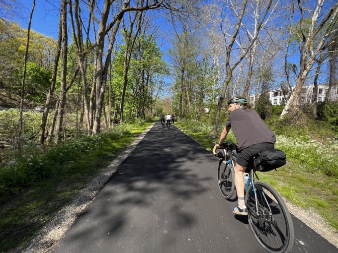
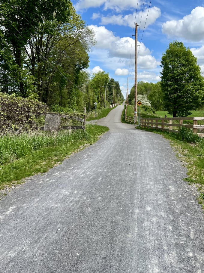
Flat, well-maintained trails would become the norm until we met the Erie Canal. I get the feeling that the state government’s trail organisers funded and linked existing rail trails wherever possible.
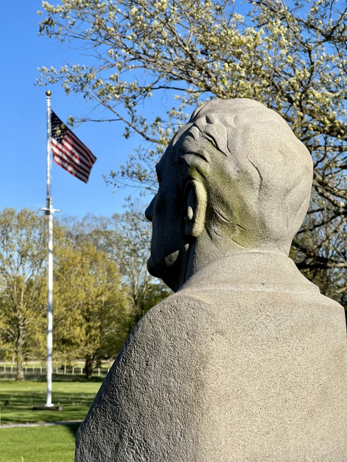
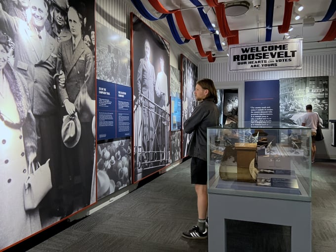
Poughkeepsie wasn’t much to behold. We caught a cab to FDR’s nearby presidential library and spent the afternoon there instead. You could also cycle this (albeit along a busy road) in about 30 minutes from downtown Poughkeepsie.
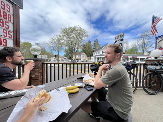
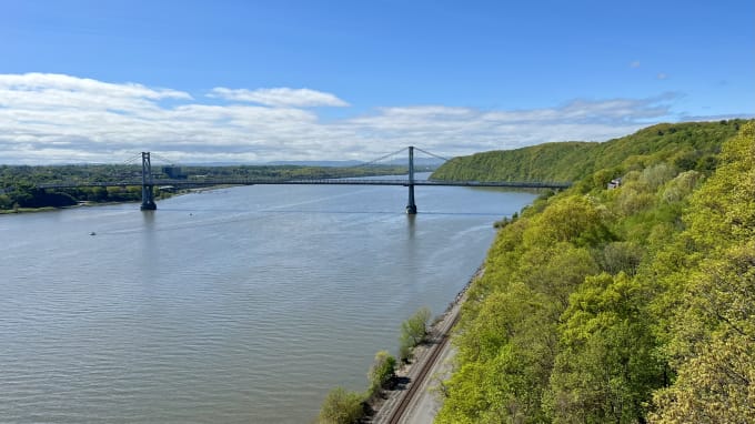
Poughkeepsie to Kingston was our next leg, and a short one at 45.63 km. I’m glad it worked out this way as it had a lot of natural stopping points along the way. We took about thirty minutes taking in the Walkway Over the Hudson (just after Poughkeepsie), then loitered around New Paltz for another hour to stock up on food and drink.
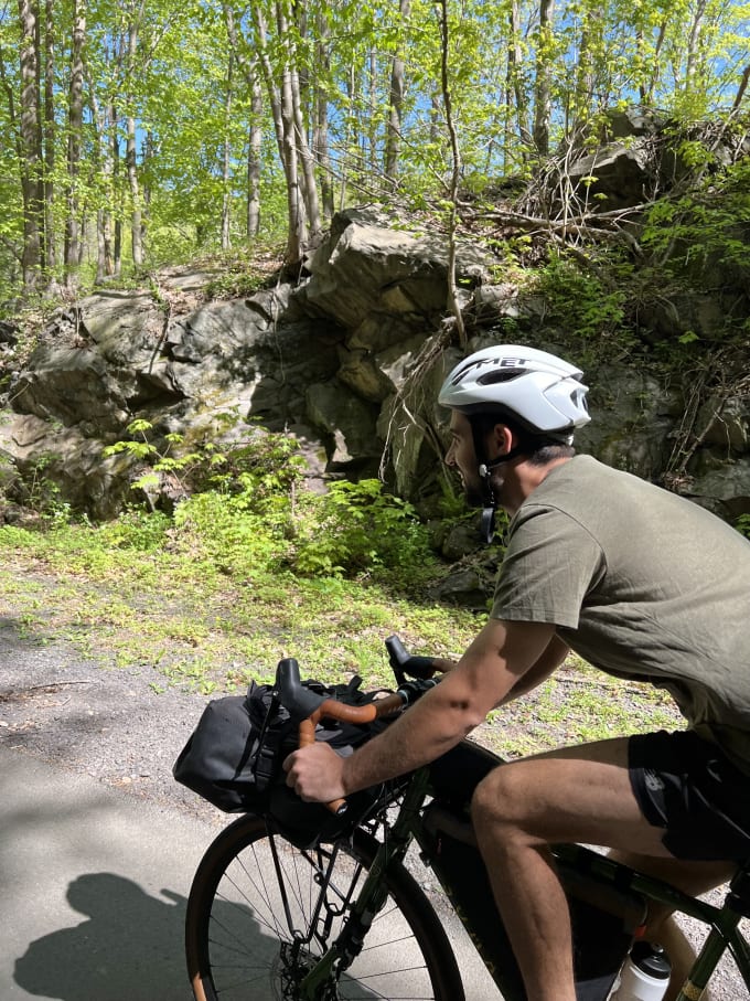
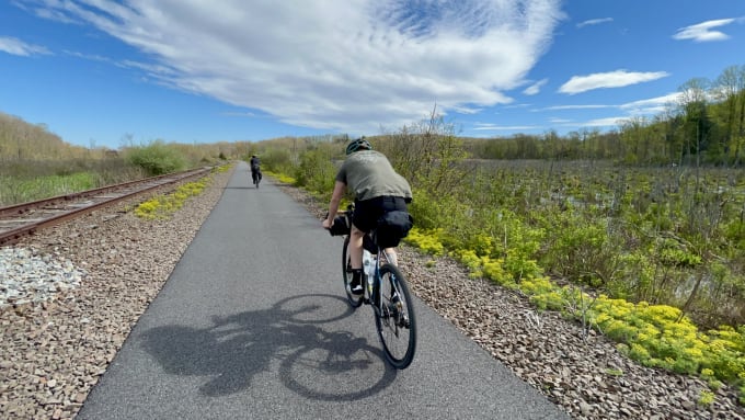
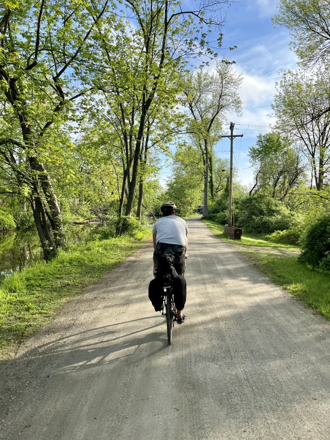
The Wallkill Valley Rail Trail after New Paltz was the first unpaved trail we encountered. As mentioned earlier, I think you could do this part of the trip with most bikes. It was well-graded and well-maintained.
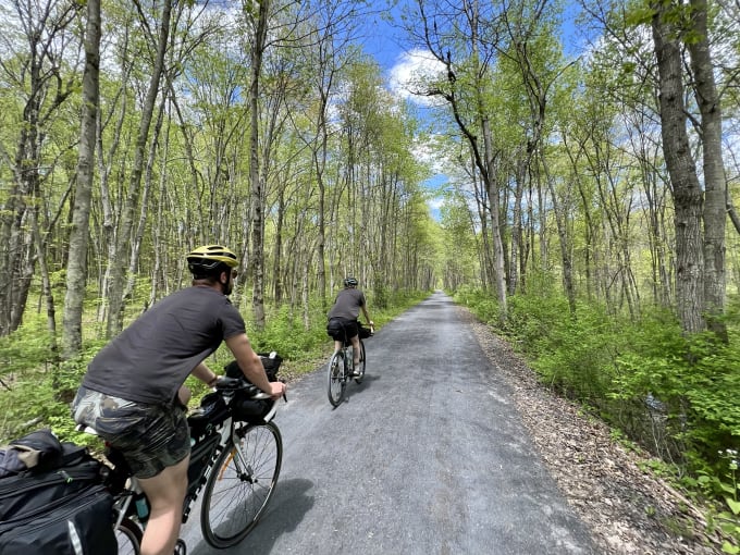
This was one of my favourite legs of the trip. One minute we’re riding under a canopy, the next we’re crossing a surprise bridge. Add in the occasional wildcard like an abandoned mine blowing out a pocket of cold air. Rinse and repeat.
A short section of the trail was under repair about 10 minutes north of Rosendale but I’d expect this to be repaired by now. Walking our bikes through was easy enough.
Heading towards Albany
We said goodbye to Myles after Kingston. He rode part of the way with us toward Hudson and then on to Rhinecliff to catch the train back home.
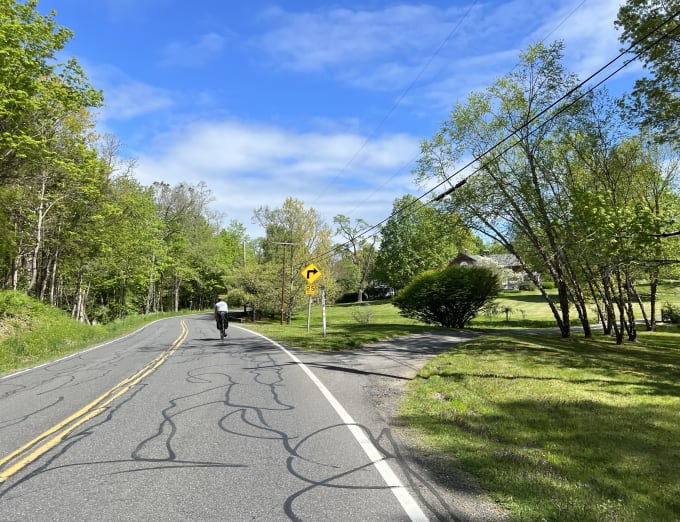
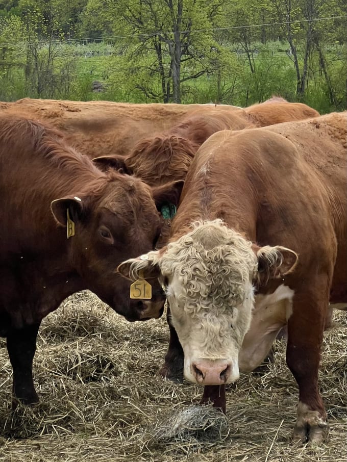
Riding through the Bard College area was beautiful. Being on the open road for the first time with little traffic and plenty of wildlife had a lot to do with it.
Only after leaving Hudson did it feel like we were entering the ‘sticks’. This entire day’s ride was done on the (mostly) unpaved but well-graded Albany-Hudson Electric Trail.
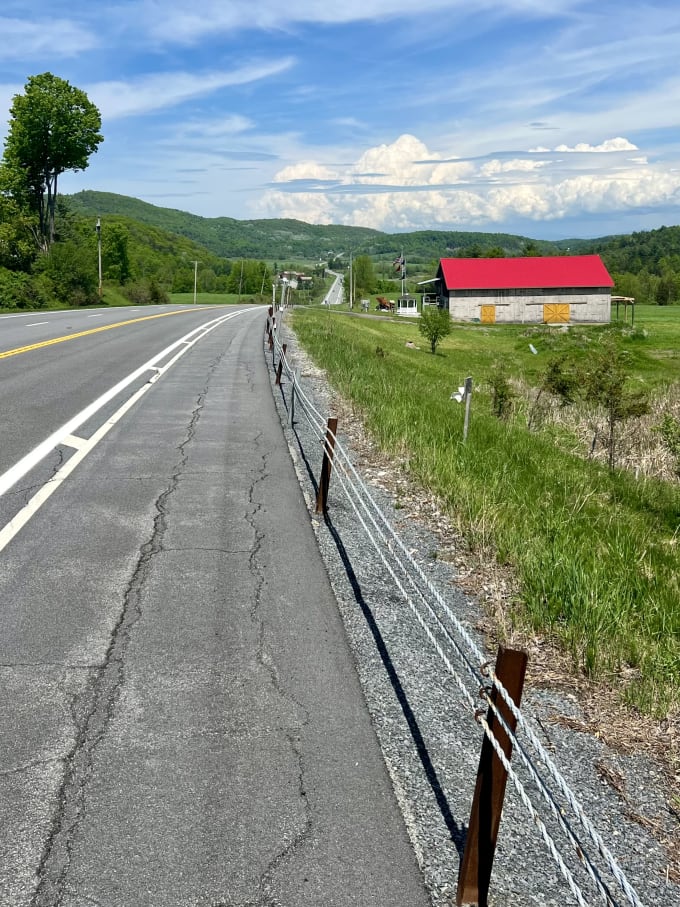
Just north of Albany is where the Hudson River meets the Erie Canal and the Hudson Valley Greenway Trail turns into the Erie Canalway Trail. We pushed on with the former, heading along the Old Champlain Canal Trail before meeting up with the shared Hudson River Road to Schuylerville.
Attacking the Adirondacks
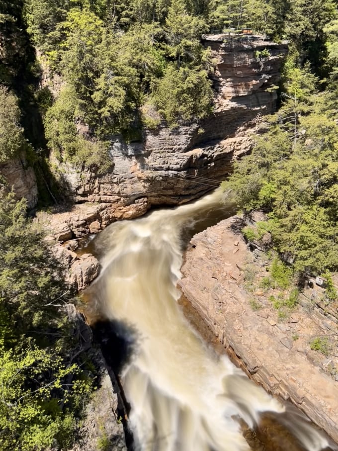
The trail got tough shortly after leaving Whitehall. Specifically after crossing its Old South Bay Bridge. Elevation, terrain, and drivers all stepped up from easy to intense.
From here on is where you need at least 28mm wide tyres, given the diversity in road quality. I rode with 43mm wide gravel tyres and quickly became thankful for it. You also need a fitness level and plenty of water to get over the drawn-out hill climbs.
I’ll get the rest of the bad news out of the way. The hills, narrow shoulders, and scarce accommodation didn’t stop until Plattsburgh. The good news however is that the scenery, towns, and hospitality stepped up to match.
We got stung by being ‘out of season’ in Westport, though. Every shop and restaurant within a rideable distance was closed and the weather was closing in. Luckily the hotel owners took pity and lent us their car, not before offering to make turkey sandwiches or thaw out a pizza.
Onwards to Montréal
Plattsburgh to Rouses Point was nice but uneventful. We were still on-road but the hills had stopped and civilization returned.
Don’t expect much of a photo op at the end of the Empire State Trail in Rouses Point. Unlike at Battery Park in Manhattan, the sign here was no grander than those all along the trail.
Canada had us covered, though.
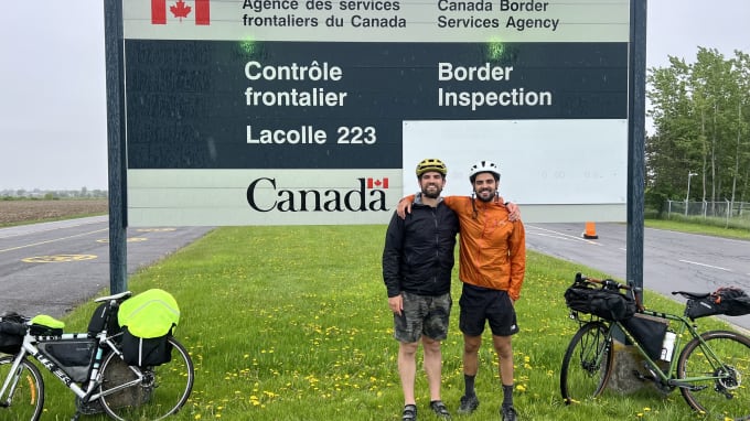
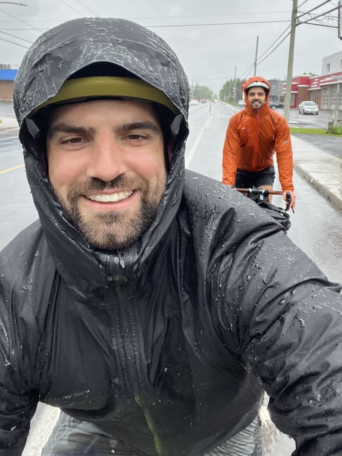
We had our first spell of rain this day, just as we crossed the border. Most of the ride from the border to Saint Jean-sur-Richelieu continued on the road’s shoulder but its condition (and driver etiquette) was noticeably better than on the US side.
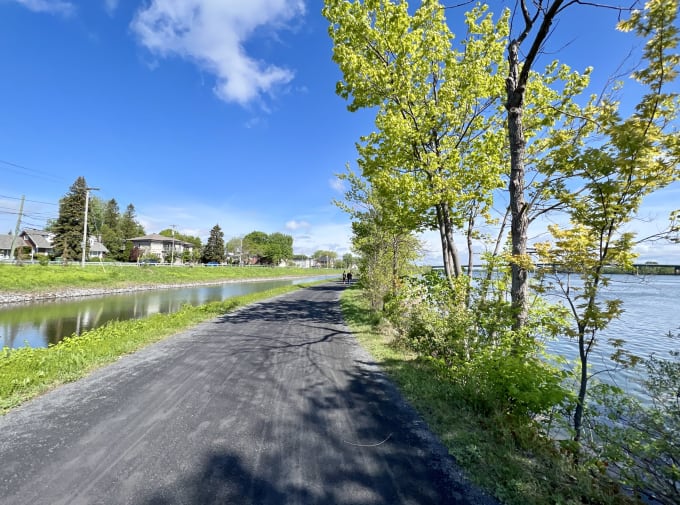
Saint Jean-sur-Richelieu was nice enough for a stop in. The last day’s ride from there to Montréal however takes the cake for scenery. We followed the canal-side bike path up to Chambly and then took a straight-shot bike highway the rest of the way to Montréal.
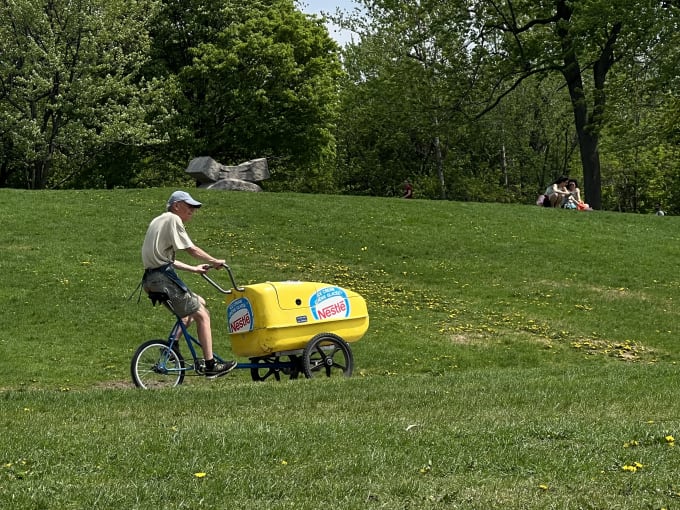
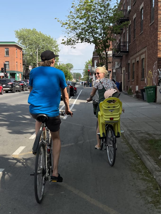
Montréal itself was a cycling paradise, so don’t expect to rest your legs. I found myself riding similar distances as during the trail (70 to 100 km per day) because it was the best way to get around and explore town.
Resources
I found these resources helpful during the planning phase of the trip:
Once we were on the trail we followed an offline copy of my RWGPS route and heeded advice from locals.
Oh, and you should grab a free physical copy of the trail map from the official site’s Request a Map page.
Birds
For the twitchers out there: if there were a bird mascot for the trail it would be the Red-Winged Blackbird. It followed us the whole way.